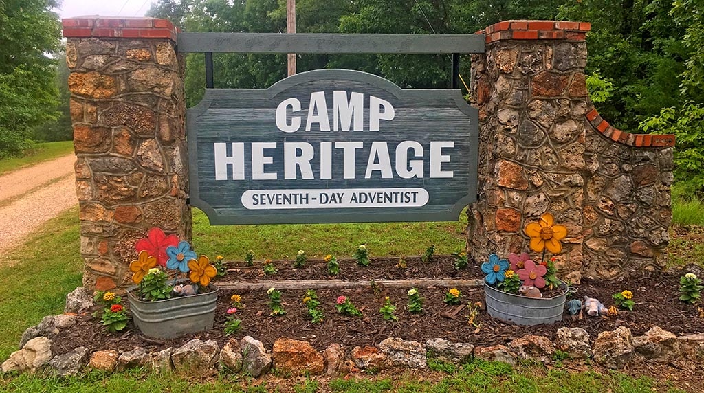
While Camp Heritage is a special place, few people drive here more than a couple times a year; it can be hard to remember all those turns. Getting close to Camp Heritage is quite easy. Negotiating the last few miles can be tricky, especially when you get surrounded by all those trees! Add in road names that look like an algebra problem, a car full of kids yelling, “Are we there yet?!?” and the possibility of an armadillo in the road or a Sasquatch attack, and it can be downright intimidating! We have included GPS instructions and an interactive map as well as turn by turn directions to help with the last few miles of your trek. Choose the directions that are appropriate for you. Keep in mind the trickiest part really is only the last 4.7 miles! Our office number is (573) 345-3760.
GPS Directions
Use the following address in your GPS:
376 Camp Heritage Road, Climax Springs, MO 65324
Turn by Turn Directions – PDF
Click on the links below to access turn by turn directions from the following locations in PDF format.
East Approach – Hwy 54 & Hwy 5 in Camdenton, MO
West Approach – Hwy 65 & Hwy 7 in Warsaw, MO
South Approach – Hwy 65 & I-44 in Springfield, MO
Distances to Various Cities in the Iowa-Missouri Conference
Sedalia, MO |
65 miles |
Springfield, MO |
90 miles |
Columbia, MO |
110 miles |
Kansas City, MO |
140 miles |
St. Louis, MO |
200 miles |
Poplar Bluff, MO |
240 miles |
Des Moines, IA |
290 miles |
Davenport, IA |
350 miles |
Mason City, IA |
415 miles |